Flood · Piece
How to check flood risk near the Cam and Fens
Flood risk in Cambridge starts with GOV.UK's long term check, then free Environment Agency warnings. The check does not give the chance of one property flooding, and the warnings do not cover surface water.
Most useful for: Buyers, householders and landlords near the Cam, the Ouse and the fen edge
Compiled from the sources at the end. Updated .
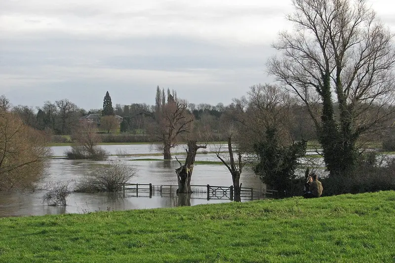
A river is only one way into a house near the Cam. Rain that cannot drain away, rising groundwater, blocked drains and burst pipes can all reach the same floor, and different bodies and checks deal with each. One search rarely settles the question, so it helps to work through them in turn.
What does the government check cover?
GOV.UK's long term risk service covers rivers and the sea, surface water and reservoirs, with groundwater where available. It does not give the chance of an individual property flooding, and it does not cover blocked drains or burst pipes. Read the result as a guide to the place, not a forecast for one front door.
Floodline, on 0345 988 1188, handles flood warnings and risk information by phone. For the short term, GOV.UK has a check of flooding over the next 5 days, and a flood plan. Flood Action Online, launched on 12 October 2026, gathers preparation advice in one place.
What do flood warnings leave out?
Environment Agency warnings are free and come by text, phone or email. They cover rivers, the sea and groundwater, but not surface water. Heavy rain that overwhelms local drainage can therefore arrive with no message from this service, even if you have signed up.
Messages come in three levels, set out by the County Council. Each one asks more of you than the last.
| Message | Meaning | What it asks of you |
|---|---|---|
| Flood alert | Flooding is possible, usually 2-12 hours before river flooding | Prepare |
| Flood warning | Flooding is expected | Act now |
| Severe flood warning | Danger to life | Treat it as an emergency |
Who manages which water?
The County Council's guide to responsibilities splits the work up. The Environment Agency manages main rivers, including the River Cam and the Great Ouse. The County Council, as Lead Local Flood Authority, covers surface water, ordinary watercourses and groundwater, and must investigate significant events.
Two more bodies complete the picture. Internal drainage boards manage water levels in their districts through drains, ditches and pumping stations. Water companies are responsible for flooding from their pipes, including sewage.
The council publishes its flood investigation reports, with titles covering Fen Drayton 2024, Linton July 2021, Swavesey December 2020 and Waterbeach December 2020. If you are buying in one of those villages, open the report itself. A title says nothing about which streets were affected.
What do conservation appraisals say about your street?
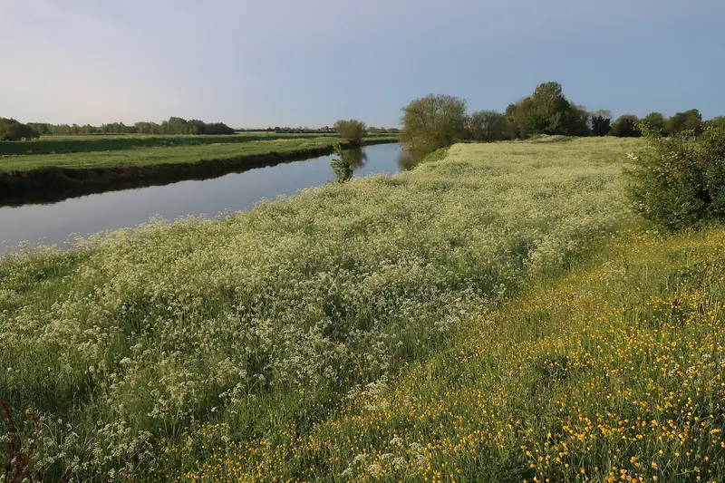
Council appraisals add local history. The Riverside appraisal of March 2012 says the "majority of the area is in the floodplain". The Newnham Croft appraisal notes a house on an arched plinth because of regular river flooding.
On the fen edge, the 1999 Waterbeach appraisal records recurrent inundation in the past. The 1999 Over appraisal describes the Ouse as a recurrent cause until the mid 20th century, and a village surrounded by drainage ditches.
These documents describe the character of an area, and they are 13 to 27 years old. Use them as prompts for questions to a surveyor or insurer, not as current risk data. The conservation areas page has more on where appraisals exist.
Cambridgeshire County Council's recorded webinar for local flood groups covers responding to a flood and, from about 55 minutes in, going back into a flooded home, drying out and dealing with insurers. Not made by this site; duration 1:18:26.
Once you have a result
- Run the long term check for the address and note each source of flooding separately.
- Sign up for warnings, and remember that surface water sits outside them.
- Check whether a drainage board covers the area, using the ADA map the County Council points to.
- Ask your insurer about cover, and read how Flood Re and resilience measures fit together.
- Keep the steps for gas, water and electrics after a flood somewhere you can reach on a phone.
Any building built or refurbished before 2000 may contain asbestos, and insulating board is hard to tell from plasterboard. Do not break, drill or strip suspect boards, and tell contractors before they start. See asbestos around old boilers, flues and tanks.
Who handles what
- The River Cam and the Great Ouse
- Environment Agency
- Surface water, ordinary watercourses and groundwater
- Cambridgeshire County Council
- Water levels in a drainage district
- The internal drainage board
- Flooding from water company pipes, including sewage
- The company named on your bill
- Signing up for warnings
- You, for each address you care about
Other questions on this
Does a low result mean a house will stay dry?
No. The service does not give the chance of one property flooding, and blocked drains and burst pipes sit outside it. A low result is one piece of evidence, to weigh with local history and what neighbours and insurers can tell you.
Who do I ring about water coming off a main river now?
The County Council lists the Environment Agency's number, 0800 80 70 60, for a live flood or a blockage on a main river. If a smell of gas or a power hazard is part of the problem, the after-flood page has the right numbers.
Who deals with a ditch that keeps overflowing?
Ordinary watercourses fall to the County Council as Lead Local Flood Authority. Inside a drainage district, the board manages drains and ditches, so check its map first. If you still cannot tell, ask the County Council which body holds that stretch.
Can I get a flood certificate for a house?
Not as a standard product yet. Flood Performance Certificates are in pilots from 2026, so ask your surveyor what is available when you buy.
Sources, read 4 November 2026: GOV.UK: check long term flood risk; GOV.UK: get flood warnings; GOV.UK: prepare for flooding; Flood Action Online; GOV.UK: Flood Action Online launch; GOV.UK: Flood Performance Certificates; Cambridgeshire County Council: residents and flooding; Cambridgeshire County Council: who is responsible for what; Cambridgeshire County Council: flood investigations; Riverside and Stourbridge Common appraisal; Newnham Croft appraisal; Waterbeach appraisal 1999; Over appraisal 1999; HSE: asbestos, where it can be found; HSE: why asbestos is dangerous and where it is.